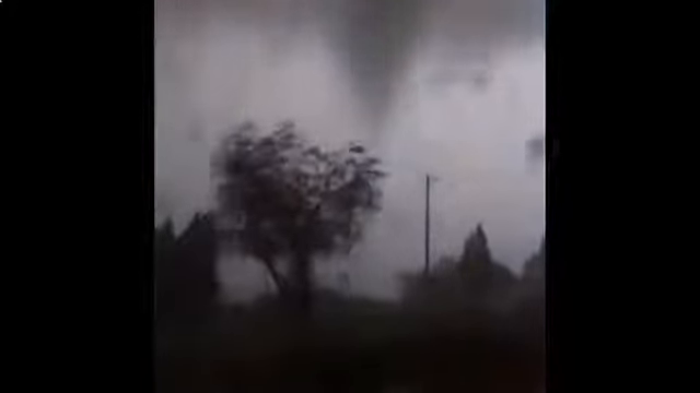
 Gerbépal tornado, 13 May 2015 — video still at 0:05Photo: Wilcox Oday (YouTube uploader; original videographer unconfirmed) · Source. Still image; lossless WebP conversion.
- Location
- Hautes-Vosges, including Basse Martimpré near Gerbépal and the Straiture valley
- Reported survey rating
- EF2 Keraunos assessment reported by Vosges Info on 19 May 2015
- Local time · 13 May 2015
- Around 7:55 pm CEST (UTC+2)
- UTC
- Around 17:55 UTC · 13 May
- Time on the ground
- Not established in the cited municipal account
- Track length
- About 16 km in the reported survey
- Maximum width
- Up to 750 m in the reported survey
- Survey wind estimate
- 175–220 km/h in the contemporary CNPF account
Event & radar context
The municipal risk document records this tornado at 19:55 local time. The EF2 label and track dimensions follow the Keraunos assessment as reported by Vosges Info; they are not a new rating derived from these images. CNPF documented extensive forest damage. Radar samples precipitation aloft, and terrain can affect coverage in the Vosges. These are observed five-minute rainfall totals, not reflectivity or velocity.
Interpreting the rating
F, EF and IF are different damage-rating scales. Original source labels are preserved. Badge colours group the numerical categories for browsing; they do not imply identical wind thresholds. Radar products do not directly establish the damage rating.
Event facts: Vosges Info reporting the Keraunos survey ↗