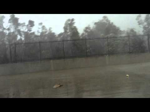
 Kurnell tornado winds and debris — 16 December 2015Photo: andymac.photos (video creator) · Source. Still image; WebP conversion.
- Location
- Kurnell, on Sydney’s southern coast
- Official rating
- F2 Damage-based rating
- Local time · 16 December 2015
- Peak measured gust at 10:33 am AEDT (UTC+11)
- UTC
- 23:33 UTC · 15 December (gust observation)
- Time on the ground
- Not established in the cited Bureau report
- Track length
- Not established in the cited Bureau report
- Maximum width
- Narrow damage path; exact width not given in the cited report
- Observed wind gust
- Measured AWS gust: 213 km/h / 132 mph
Event & radar context
The Bureau’s initial damage assessment classified this event as F2 on the original Fujita scale. Some later research uses EF2; the heading retains the Bureau’s published F2 classification. The 213 km/h figure is an automatic weather station observation, not a radar-derived tornado wind estimate. AU54’s location was checked against the Kurnell radar coordinates in the source files. The UTC sequence is on 15 December because Sydney was 11 hours ahead.
Interpreting the rating
F, EF and IF are different damage-rating scales. Original source labels are preserved. Badge colours group the numerical categories for browsing; they do not imply identical wind thresholds. Radar products do not directly establish the damage rating.
Event facts: Bureau of Meteorology event assessment ↗