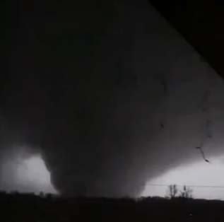
 Mayfield tornado, 10 December 2021 — supplied Reddit imagePhoto: Reddit (supplied source; original photographer unconfirmed) · Source. WebP conversion; aspect ratio preserved.
- Location
- Northwest Tennessee into western Kentucky
- Official rating
- EF4 Damage-based rating
- Local time · 10 December 2021
- 8:49–11:47 pm CST (UTC−6)
- UTC
- 02:49–05:47 UTC · 11 December
- Time on the ground
- 2 hours 58 minutes
- Track length
- 165.7 mi / 266.7 km
- Maximum width
- 1.13 mi / 1.82 km
- Survey wind estimate
- 190 mph / 306 km/h
Event & radar context
This is the continuous western Kentucky tornado track, not the entire path of its parent supercell. KHPX preserves coverage through the event. At long range, even the lowest radar beam samples well above the ground; these scans do not directly measure surface winds.
Interpreting the rating
F, EF and IF are different damage-rating scales. Original source labels are preserved. Badge colours group the numerical categories for browsing; they do not imply identical wind thresholds. Radar products do not directly establish the damage rating.
Event facts: National Weather Service review ↗